All Images ©Ken Dewey, Applied
Climate Sciences Group,
School of Natural Resources,
UNL, unless otherwise noted.
All images shot with a Nikon D-70 Digital Camera. The October 2007 Gallery is located below the three photos with links.
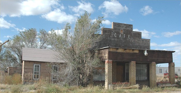
LINK: A
Photo Tour (Oct. 2007) of Abandoned Dwellings and Businesses Across the
Western U.S.
LINK: Autumn
Colors 2007 Gallery One
LINK: Autumn
Colors 2007 Gallery Two
OCTOBER 2007 PHOTO GALLERY

October 28, 2007: The bright
red color of a rose lingering well into Autumn in Lincoln, NE.

October 28, 2007: The bright
red color of roses lingering well into Autumn in Lincoln, NE.
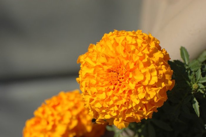
October 28, 2007: The bright
orange color of marigolds lingering well into Autumn in Lincoln,
NE.
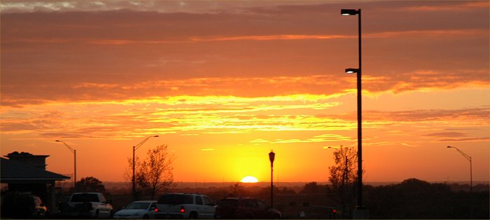
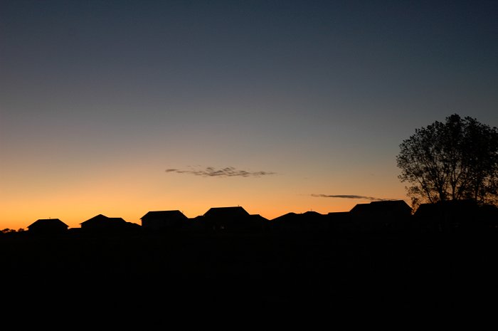
October 26, 2007: Sunset
in Lincoln, NE.
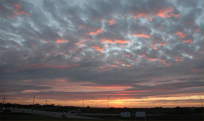
October 26, 2007: Sunset
in Lincoln, NE.
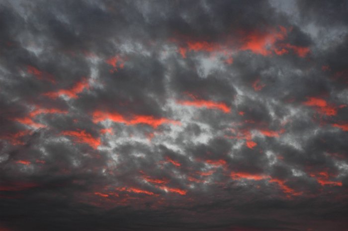
October 26, 2007: Sunset
in Lincoln, NE.
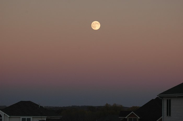
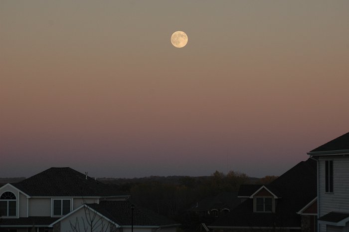
October 25, 2007: A full moon
rises into the sky over east Lincoln after sunset.
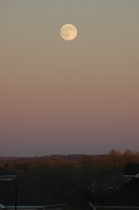
October 25, 2007: A full moon
rises into the sky over east Lincoln after sunset.
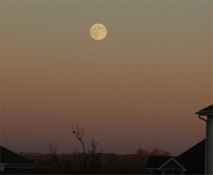
October 25, 2007: A full moon
rises into the sky over east Lincoln after sunset.
October 25, 2007: A full moon
rises into the sky over east Lincoln after sunset.
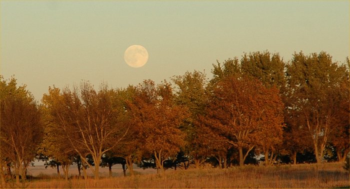
October 25, 2007: A full moon
rises into the sky over east Lincoln around sunset.
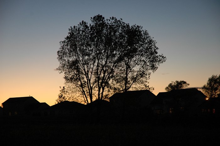
October 19, 2007: Just
after sunset
October 19, 2007: Just
after sunset
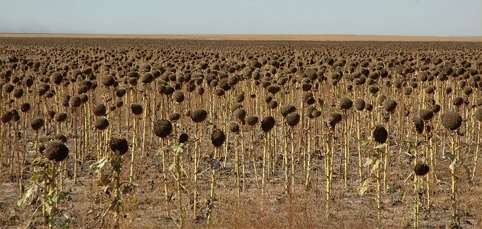
October 18, 2007: Western
Kansas harvest time.
October 18, 2007: Western
Kansas harvest time.
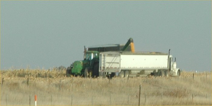
October 18, 2007: Western
Kansas harvest time.
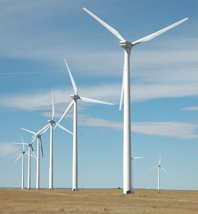
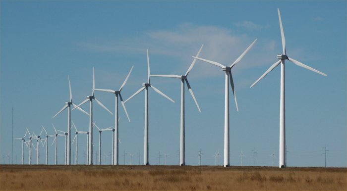
October 18, 2007: Wind turbines
in Prower County, Colorado (far southeast Colorado).
This large (108-turbine) project
in rural Prowers County, Colorado, increased the county’s tax base by
29%.
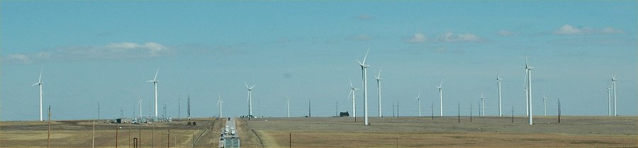
October 18, 2007: Wind turbines
in Prower County, Colorado (far southeast Colorado).
This large (108-turbine) project
in rural Prowers County, Colorado, increased the county’s tax base by
29%.
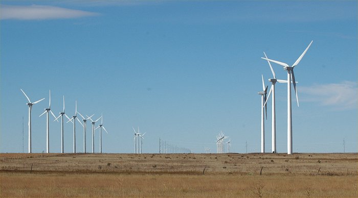
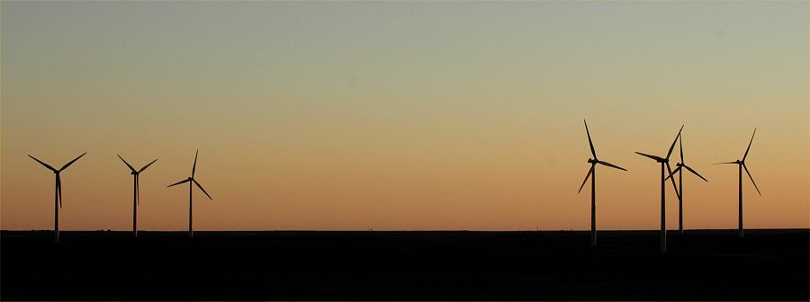
October 18, 2007: Wind turbines
in Prowers County, Colorado (far southeast Colorado).
This large (108-turbine) project
in rural Prowers County, Colorado, increased the county’s tax base by
29%.
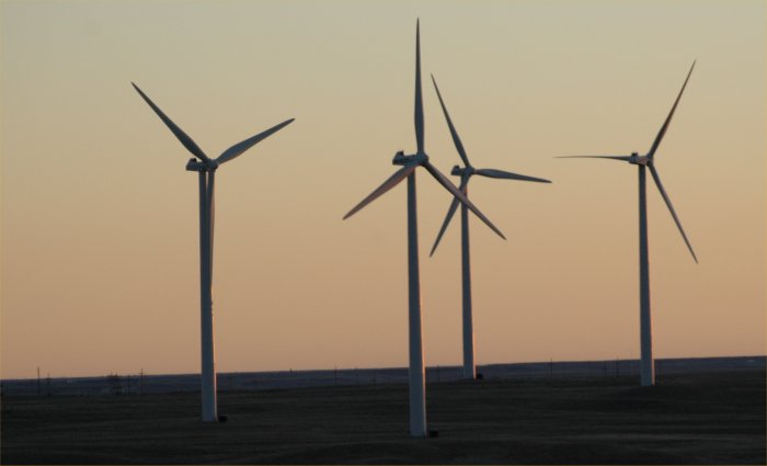
October 18, 2007: Wind turbines
in Prowers County, Colorado (far southeast Colorado).
This large (108-turbine) project
in rural Prowers County, Colorado, increased the county’s tax base by
29%.
October 18, 2007: Along Colorado
Hwy. 385 in far eastern Colorado
October 18, 2007: Along Colorado
Hwy. 385 in far eastern Colorado
October 18, 2007: Along Colorado
Hwy. 385 in far eastern Colorado

October 17, 2007: A sudden sandstorm
in eastern New Mexico along I-40.
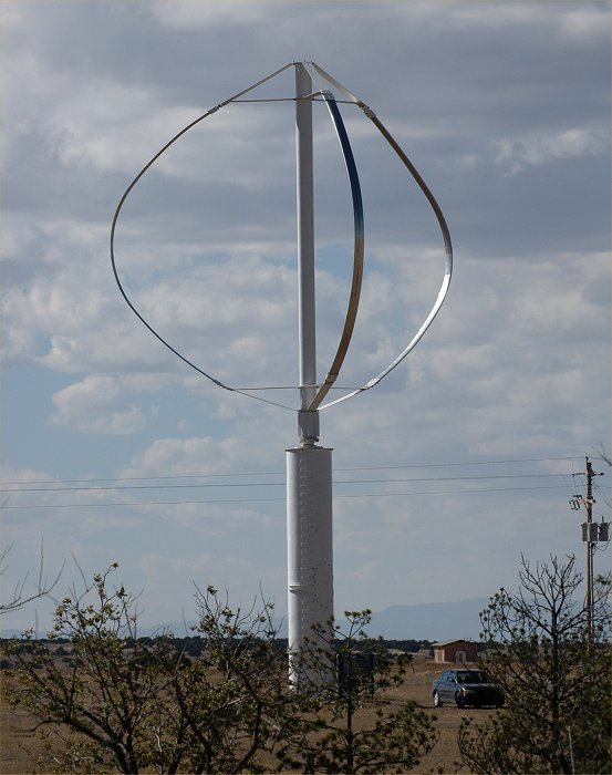
October 17, 2007: wind energy
generator in eastern New Mexico.
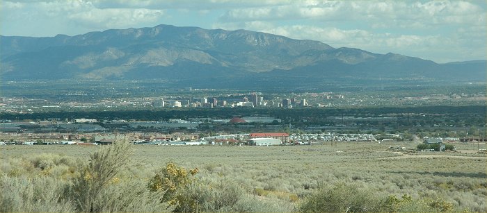
October 17, 2007: Albuquerque,
NM viewed from I-40 west of the city.
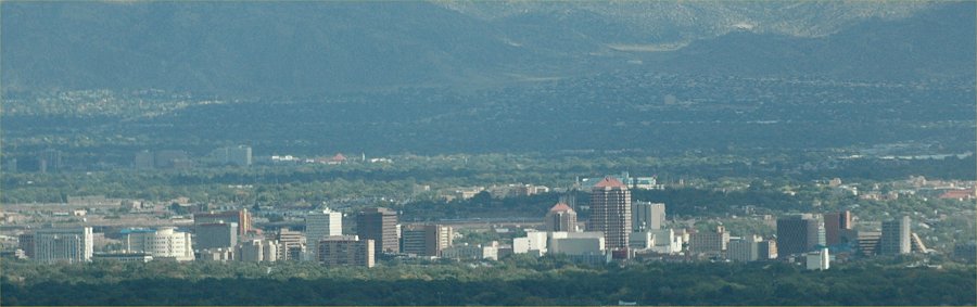
October 17, 2007: Albuquerque,
NM (same as above, close up)
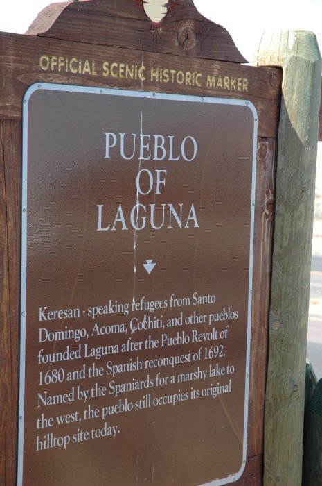
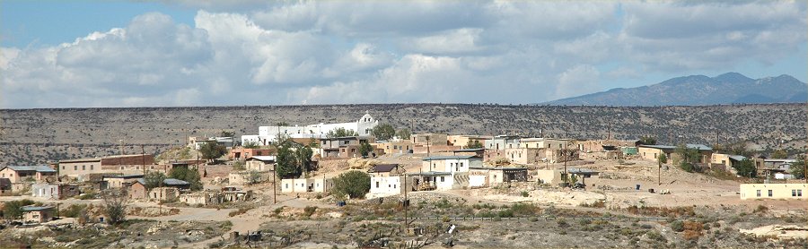
October 17, 2007: Pueblo
Laguna, just west of Albuquerque, NM
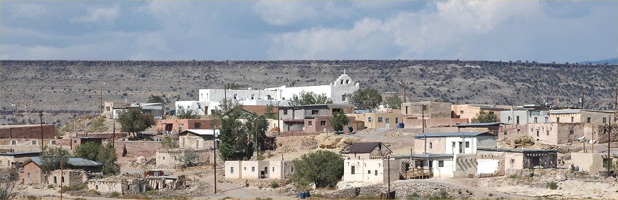
October 17, 2007: Close
up view of Pueblo Laguna, just west of Albuquerque, NM
October 16, 2007: At the
Arizona/New Mexico border along I 40.
October 16, 2007: The High
Plains of Eastern Arizona.
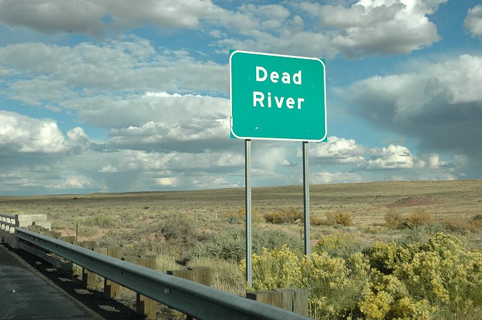
October 16, 2007: The Dead
River in eastern Arizona.
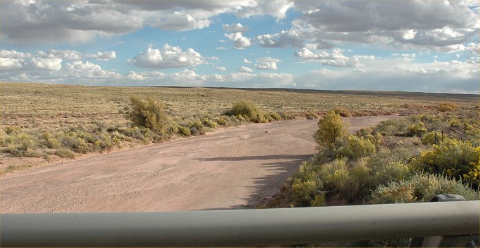
October 16, 2007: The Dead
River in eastern Arizona.
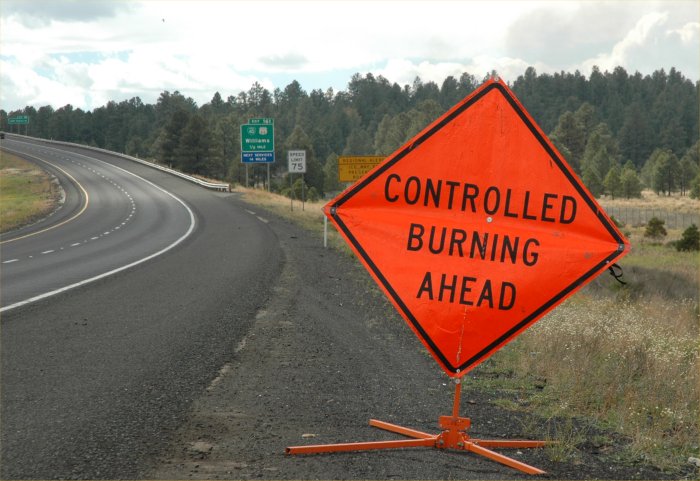
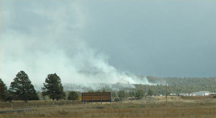
October 16, 2007: Controlled
burning near Flagstaff, in central Arizona.
October 16, 2007: East
of Flagstaff
October 16, 2007: East
of Flagstaff
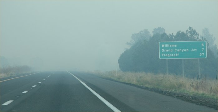
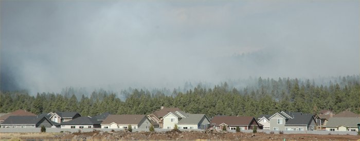
October 16, 2007: Smoke
across I-40 West of Flagstaff
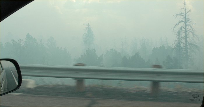
October 16, 2007: Along
I-40 West of Flagstaff
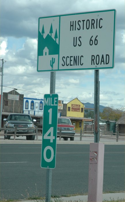
October 16, 2007: Along Scenic
and historic U.S. Route 66 in Seligman, AZ.
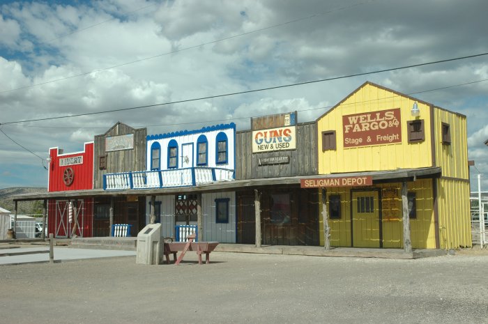
October 16, 2007: Along Scenic
and historic U.S. Route 66 in Seligman, AZ.
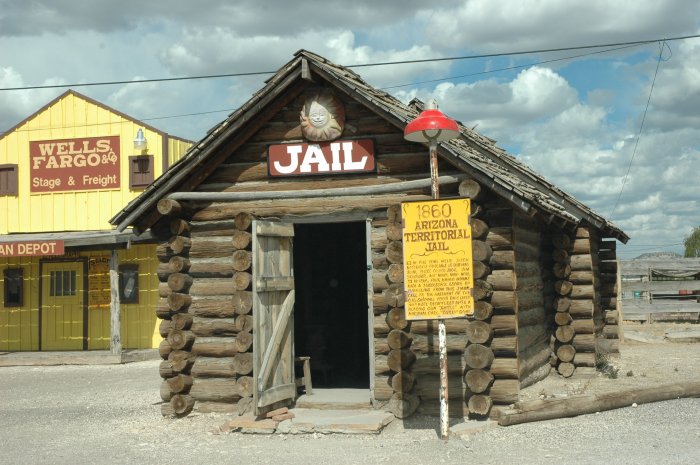
October 16, 2007: Along Scenic
and historic U.S. Route 66 in Seligman, AZ.
Actual 1860 Territorial jail.
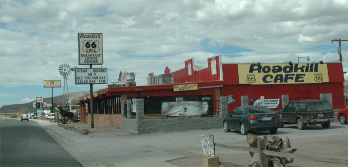
October 16, 2007: Along Scenic
and historic U.S. Route 66 in Seligman, AZ.
October 16, 2007: Along Scenic
I 40 in western Arizona.
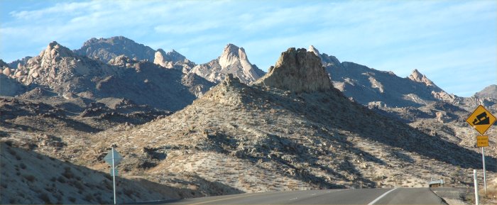
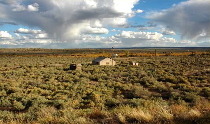
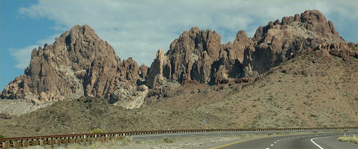
October 15, 2007: The rugged
landscape of far southeast Nevada near Laughlin, NV.
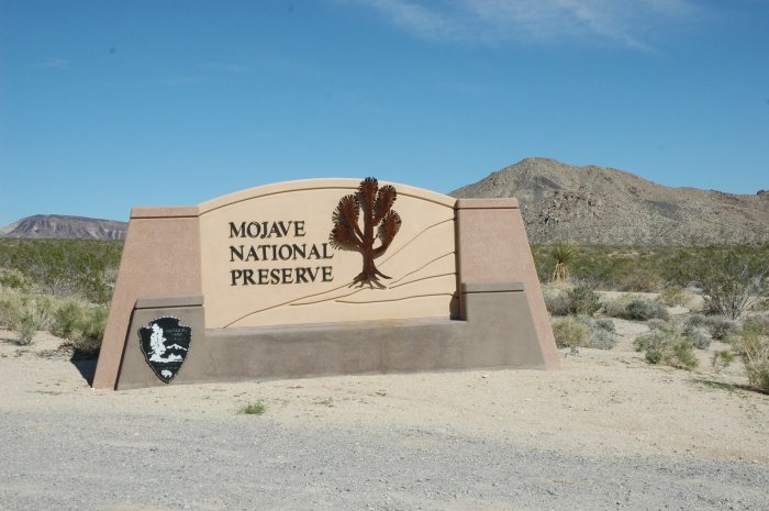
October 15, 2007: Entrance
to the Mojave National Preserve.
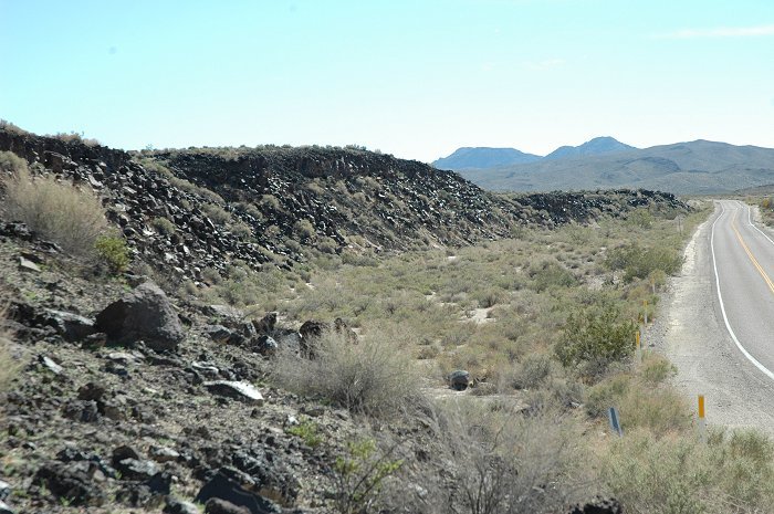
October 15, 2007: Ancient
volcanic lava flow in the Mojave National Preserve.
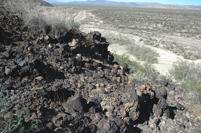
October 15, 2007: Ancient
volcanic lava flow in the Mojave National Preserve.
Note the highway down below to
the upper left for scale to see how thick this flow was.
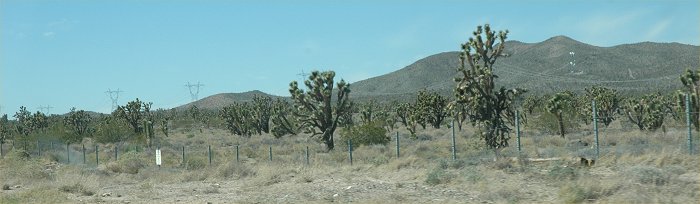
October 15, 2007: Joshua Pine
forest in the Mojave National Preserve.
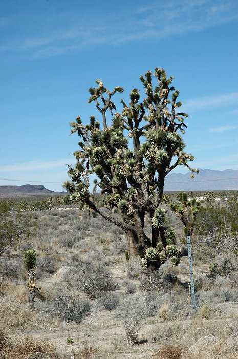
October 15, 2007: Joshua Pine
in the Mojave National Preserve.
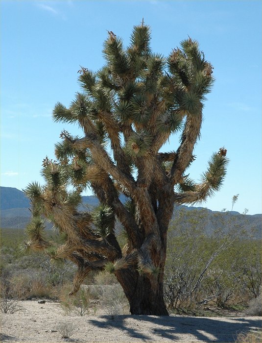
October 15, 2007: Joshua Pine
in the Mojave National Preserve.
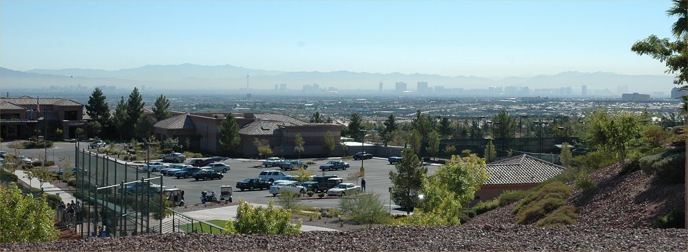
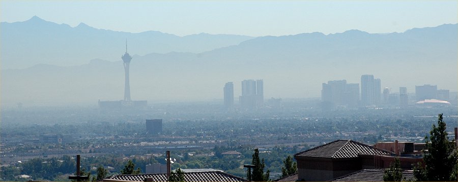
October 15, 2007: A view looking
east toward the Las Vegas Strip from the hills of Summerlin. Note
the pollution hanging over the valley.
October 15, 2007: A view looking
east toward the Las Vegas Strip from the hills of Summerlin.
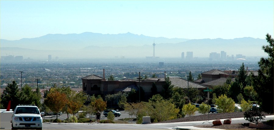
October 15, 2007: A view looking
east toward the Las Vegas Strip from the hills of Summerlin.
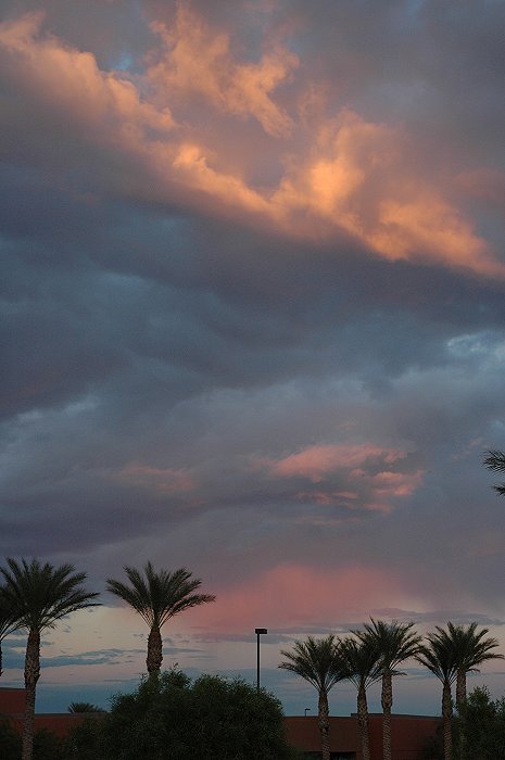
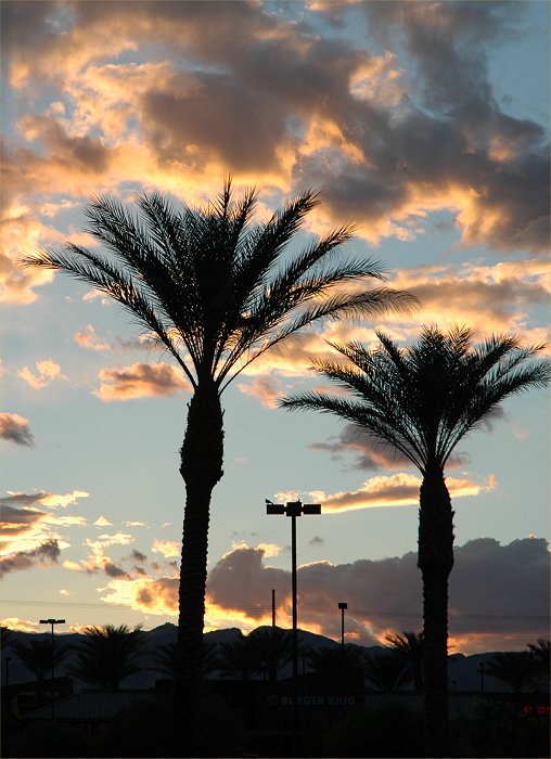
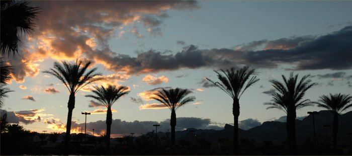
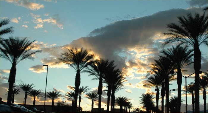
October 13, 2007: Sunset
in the desert Southwest.
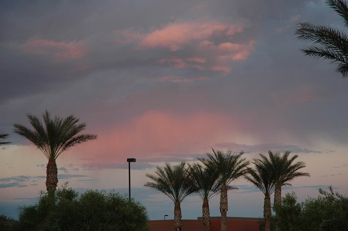
October 13, 2007: Sunset
in the desert Southwest.
October 13, 2007: Sunset
in the desert Southwest.
October 13, 2007: Sunset
in the desert Southwest.
October 13, 2007: Sunset
in the desert Southwest.
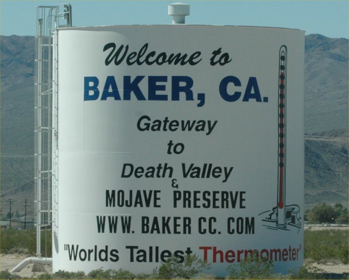
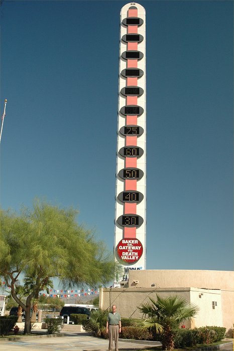
October 13, 2007: The World's
Tallest Thermometer in Baker, California.
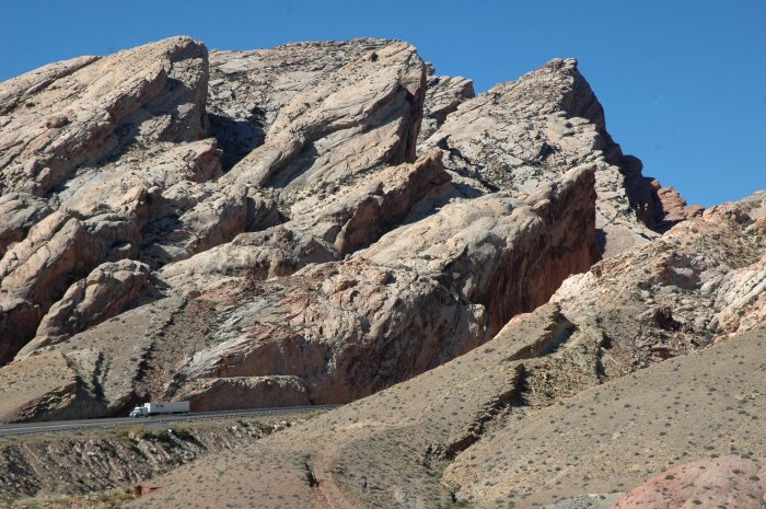
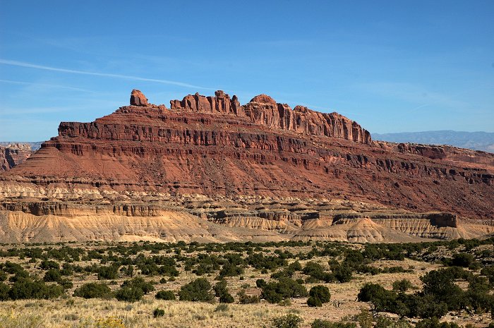
October 11, 2007: Southern
Utah along I-70 near I-15.
October 11, 2007: Southern
Utah along I-70 near I-15.
October 11, 2007: Eastern
Utah along I-70.
October 11, 2007: Eastern
Utah along I-70.
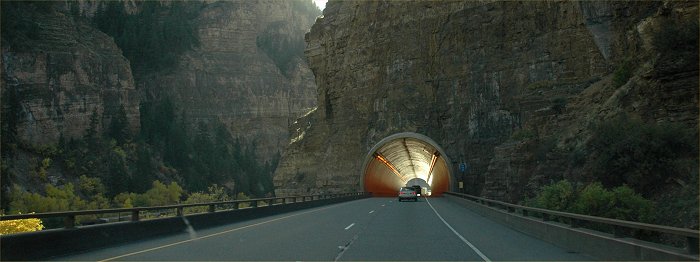
October 11, 2007: A tunnel
entrance along I-70 in western Colorado.
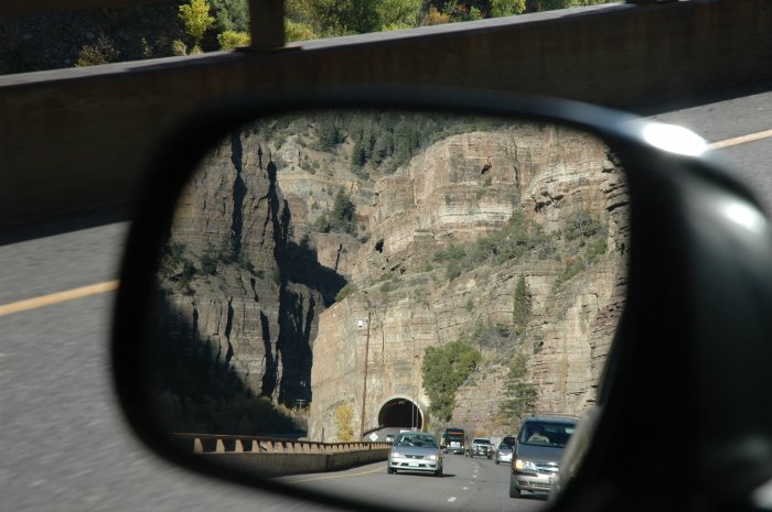
October 11, 2007: Looking
backwards, using the side mirror.
October 11, 2007: Looking
back at the same tunnel along I-70 in western Colorado.
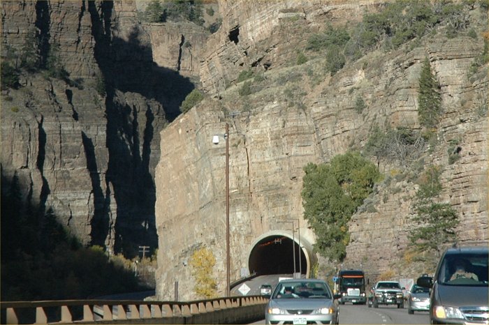
Same as the above photo, but
cropped to just show the view.
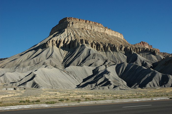
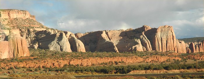
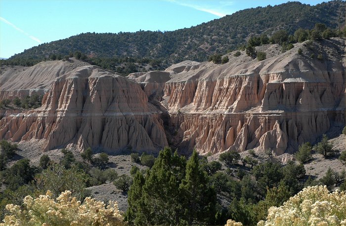
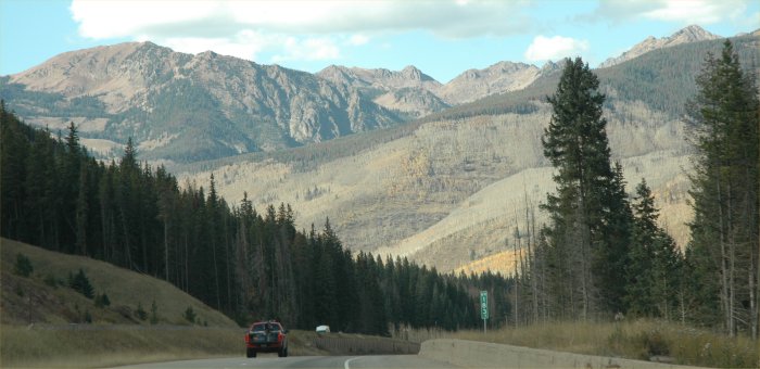
October 11, 2007: Spectacular
landscape near Grand Junction, Colorado
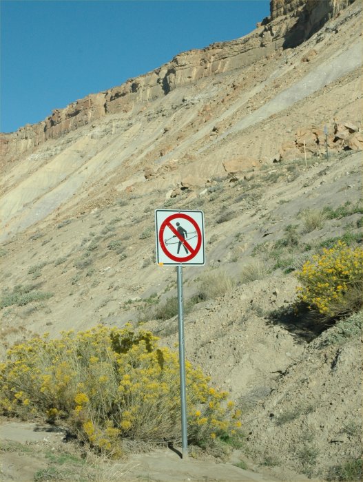
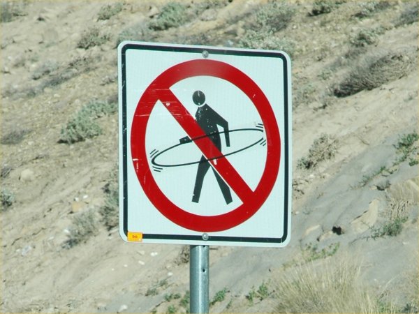
October 11, 2007: The "no
spin" zone near Grand Junction, Colorado
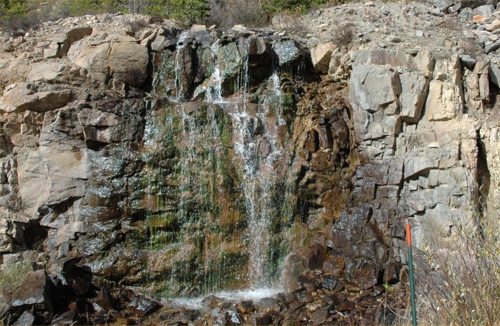
October 11, 2007: A spring
along Interstate 70 in Colorado.
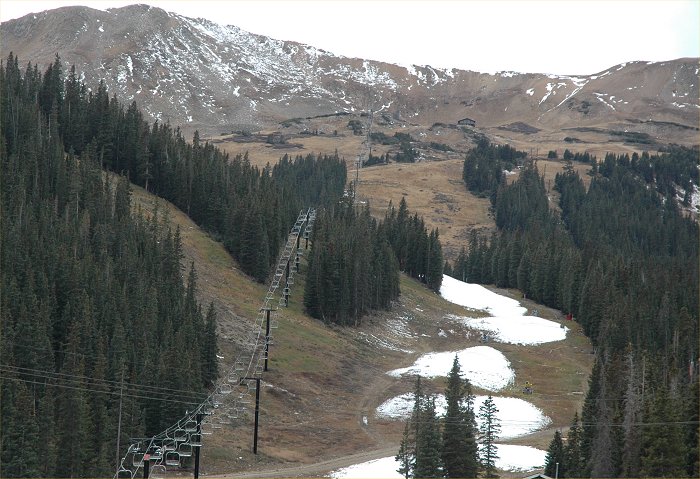
October 11, 2007: Near
Loveland pass, a ski area awaits the winter snows.
October 11, 2007: Crossing
the Continental Divide in Colorado
October 11, 2007: Along
I-70 in Colorado
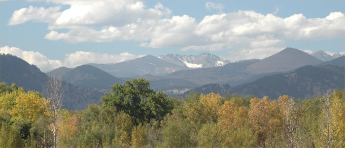
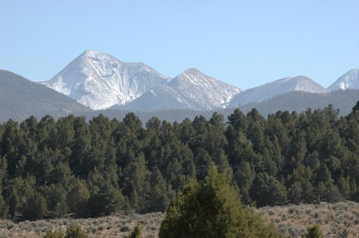
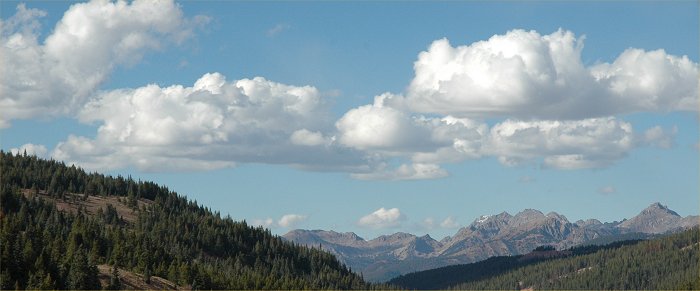
October 10, 2007: Looking
west from Boulder Colorado at the Rocky Mountains.
October 8, 2007: Wind generators
near Kimball, Nebraska, just after sunset.
October 8, 2007: Wind generators
near Kimball, Nebraska
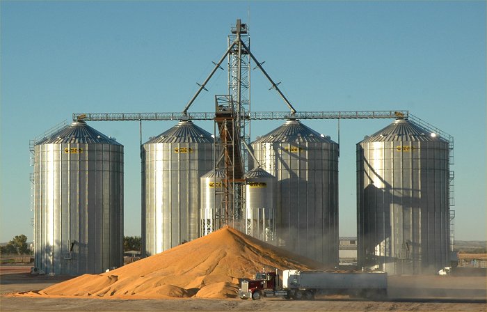
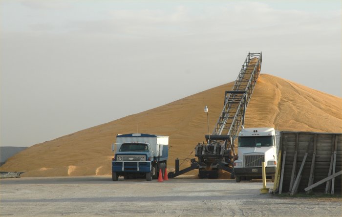
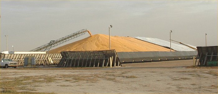
October 8, 2007: Grain
arrives at a Scottsbluff grain elevator.
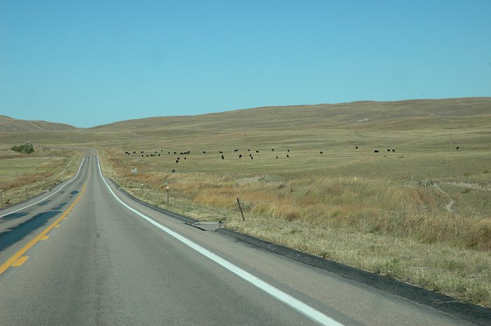
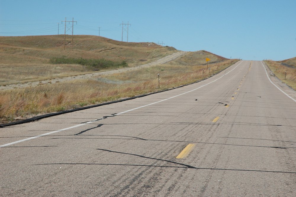
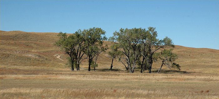
October 8, 2007: Nebraska
Sandhills along Nebraska Hwy. 61 between Hyannis and Lake McConaughy.
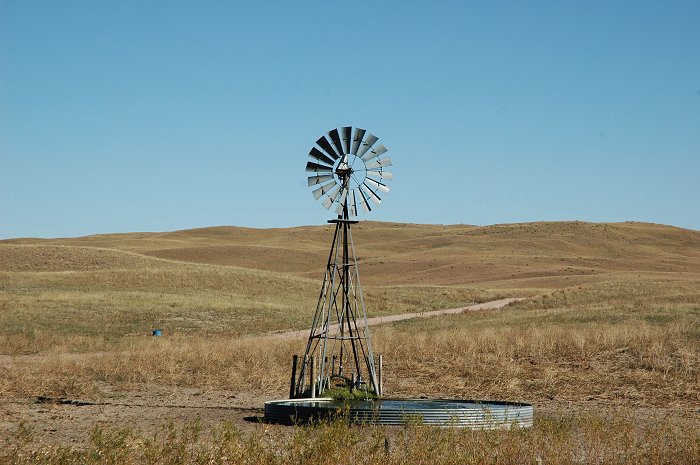
October 8, 2007: Nebraska
Sandhills along Nebraska Hwy. 61 between Hyannis and Lake McConaughy.
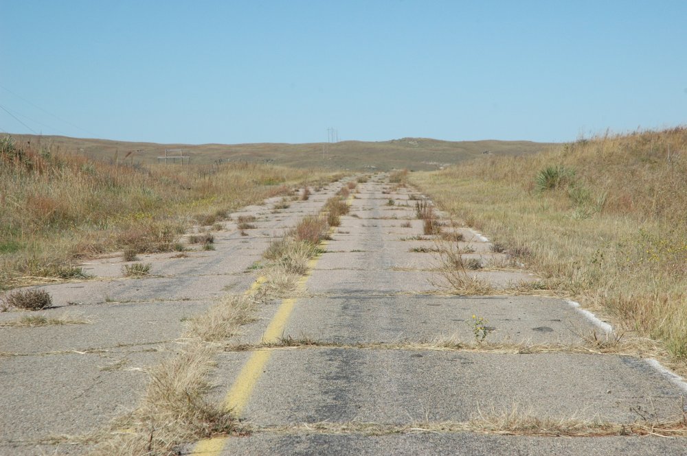
October 8, 2007: Close
up view of the original Nebraska Hwy. 61.
October 8, 2007: Nebraska
Sandhills along Nebraska Hwy. 61 between Hyannis and Lake McConaughy.
Note the original Hwy 61 to the
left in the image.
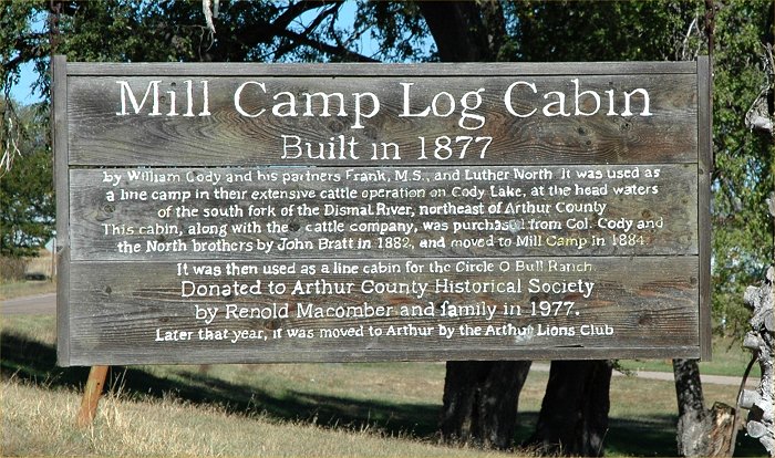
October 8, 2007: Arthur,
Nebraska. See below:
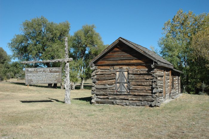
October 8, 2007: Arthur, Nebraska.
Mill camp log cabin.
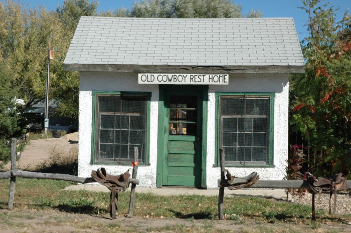
October 8, 2007: Arthur,
Nebraska.
October 8, 2007: Nebraska
Sandhills along Nebraska Hwy. 61 between Hyannis and Lake McConaughy.
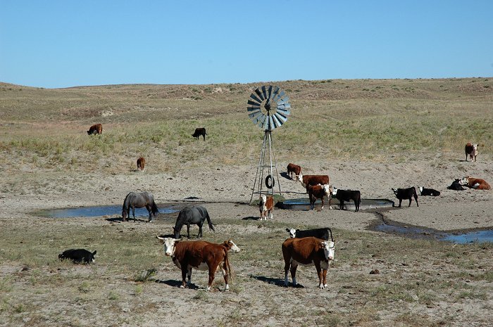
October 8, 2007: Nebraska
Sandhills along Nebraska Hwy. 61 between Hyannis and Lake McConaughy.
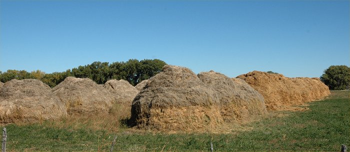
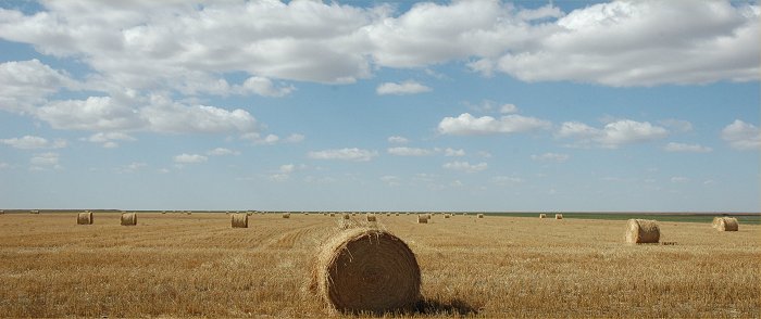
October 8, 2007: Hay harvested
in the Nebraska Sand Hills region.
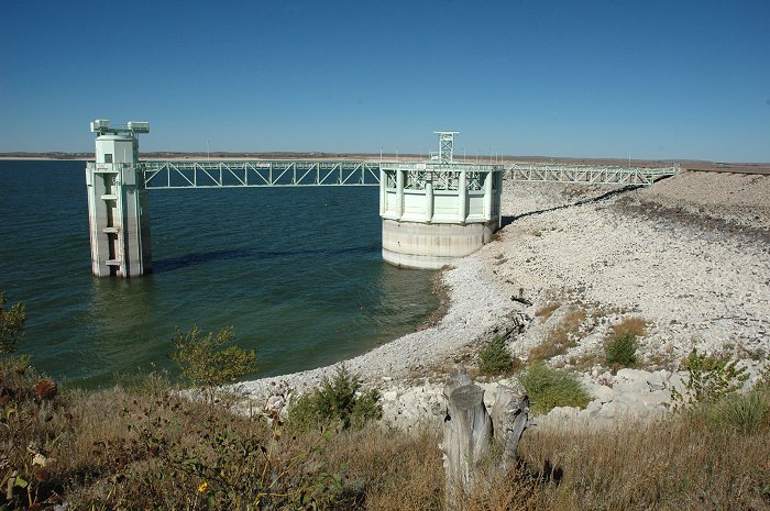
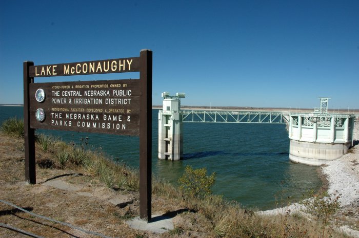
October 8, 2007: Lake McConaughy
is 7 feet higher than last year at this time but still well below normal.
October 8, 2007
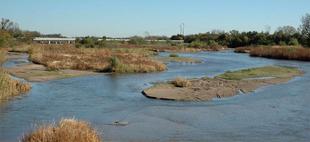
October 8, 2007: The Platte
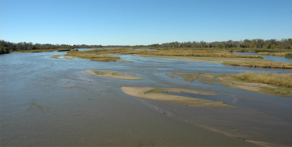
River, looking northeast at the I-80 bridge south of Grand Island, Nebraska.
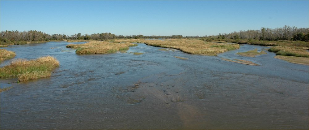
October 8, 2007: The Platte
River, looking south from the Nebraska Hwy 34 bridge east of
Grand Island.
October 8, 2007: The Platte
River, looking north from the Nebraska Hwy 34 bridge east of Grand
Island.
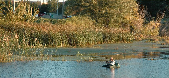
October 2, 2007: Fishing
at Holmes Lake Park in Lincoln, Nebraska.

October 2, 2007: A rainy and
foggy morning on east campus of UNL.
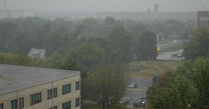
October 2, 2007: A rainy and
foggy morning on east campus of UNL.
Return to: The Photo Gallery Index Page