All Images ©Ken Dewey, Applied
Climate Sciences Group,
School of Natural Resources,
UNL, unless otherwise noted.
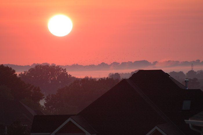
Shortly after sunrise in
rural Lancaster county, just east of Lincoln, NE. Note the birds
rising from the field.
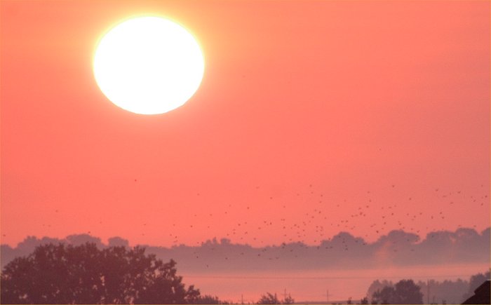
Close up view of the above photo.
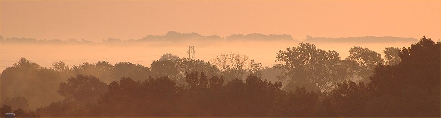
A foggy morning along Steven's
Creek in rural Lancaster county, just east of Lincoln, NE.
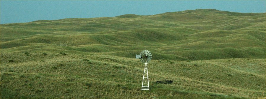
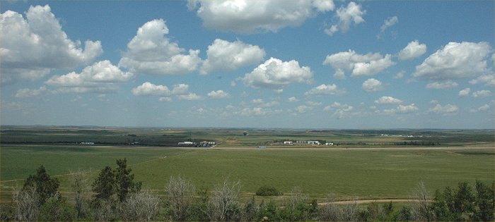
August 2007: The Sandhills Region
of Nebraska
August 23, 2007: Rural Nebraska.

August 23, 2007: The Rural High
Plains
August 23, 2007: The Rural High
Plains
August 23, 2007: The Rural High
Plains
August 23, 2007: The Rural High
Plains
August 23, 2007: The Rural High
Plains

August 23, 2007: The Rural High
Plains
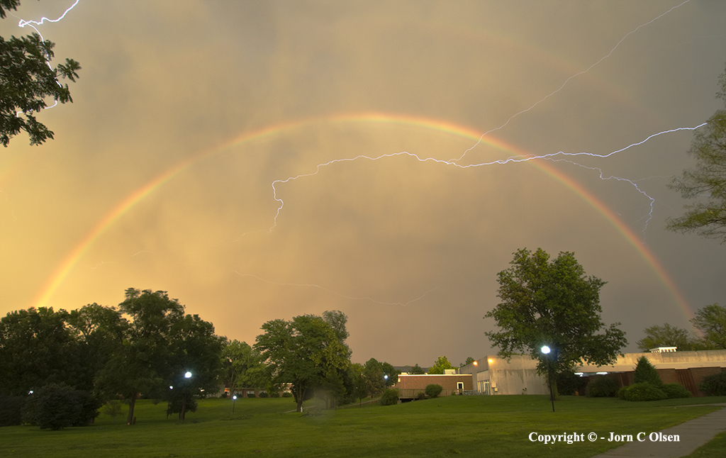
August 22, 2007: Lightning
and a Rainbow in Hastings Nebraska (Click
here for more of the above photos)
Photo courtesy of Jorn Olsen.
Photographer's
Web Site
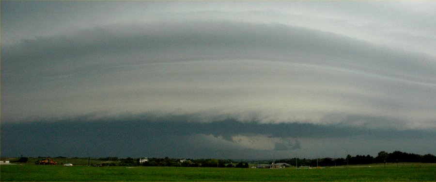
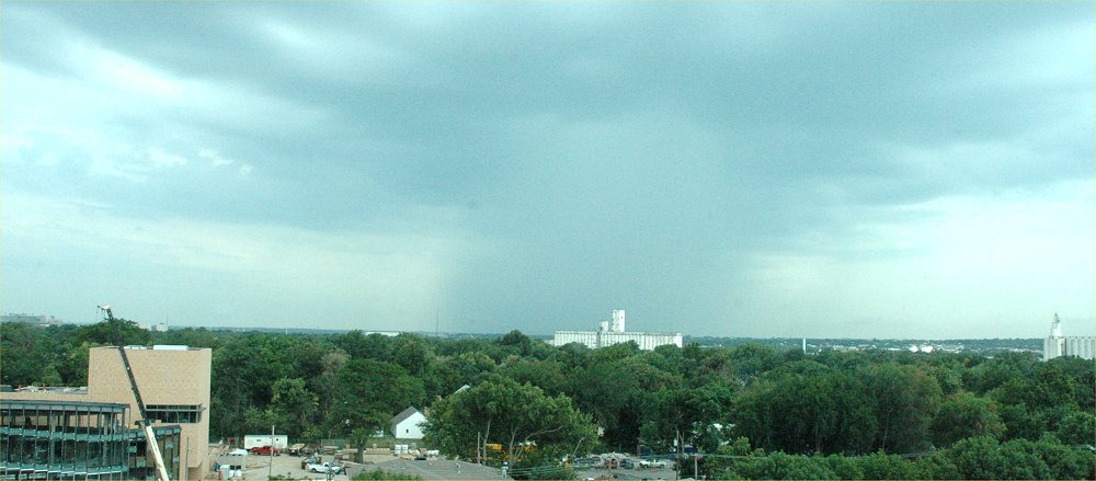
August
20, 2007: A Stormy Evening in Lincoln, NE LINK
to More of these Photos
Spearfish, South Dakota, Photo
by Chad Volkers, August 2007
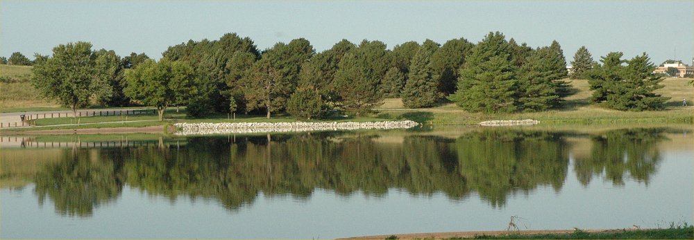
Holmes
Lake, Lincoln, NE. Trees are reflected on the nearly calm surface
of the lake.
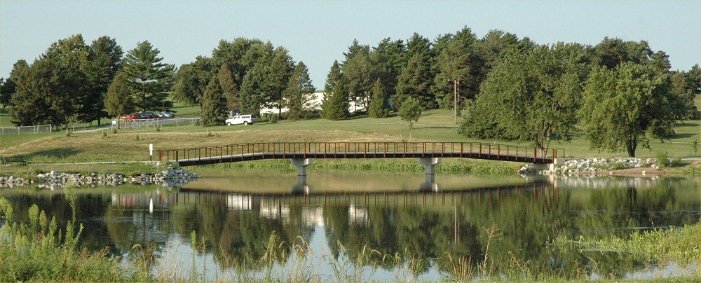
Holmes
Lake, Lincoln, NE. .
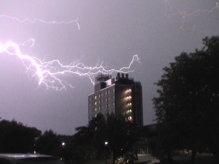
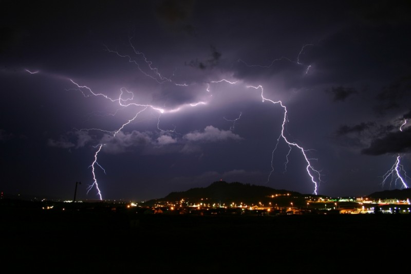
Lightning over Hardin Hall, photo
by Jeremy Bower, SNR
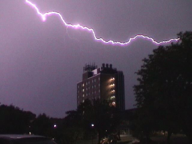
Lightning over Hardin Hall, photo
by Jeremy Bower, SNR.
See
more of his lightning photos here
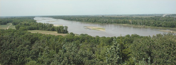
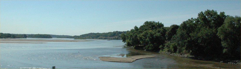
The Platte River, looking west
from the observation tower at Mahoney State Park
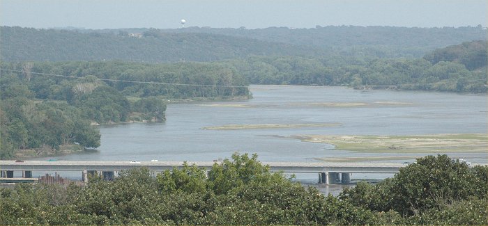
The Platte River, looking east
from the observation tower at Mahoney State Park.
The I-80 bridge is in the foreground.
Tropical moisture and haze reduces the visibility using a telephoto lens.
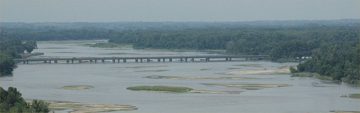
The Platte River viewed from
the observation tower at Mahoney State Park.
Nebraska State Highway 6 is in
the distance. Tropical moisture and haze reduces the visibility using
a telephoto lens.
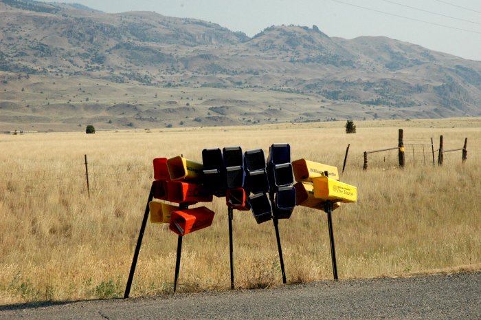
A cluster of newspaper delivery
boxes in a very remote area of Montana, The distance between homesteads
is measured miles, so it is in
stark contrast to see the clustering of these boxes.
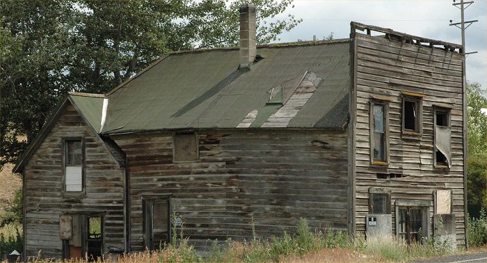
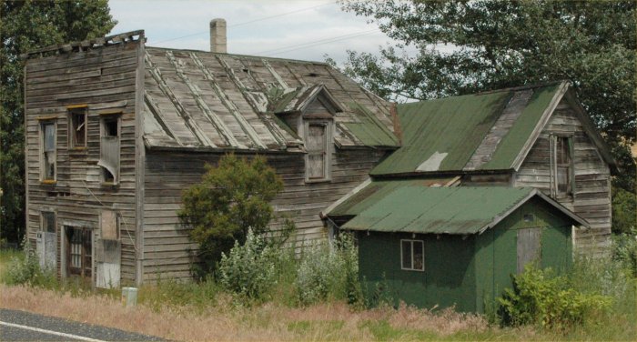
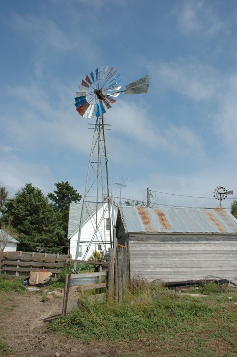
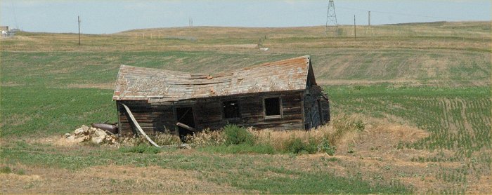
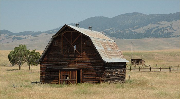
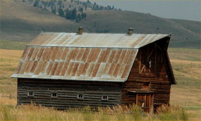
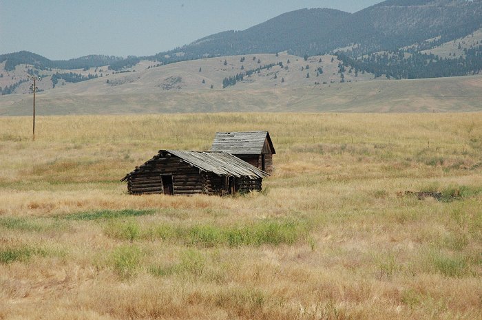
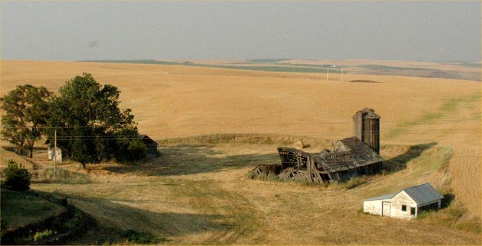
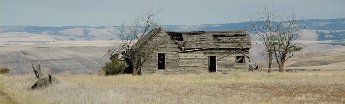
The abandoned rural west in Montana.
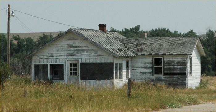
The abandoned rural west in Montana.
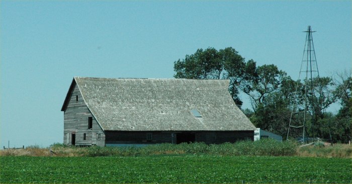
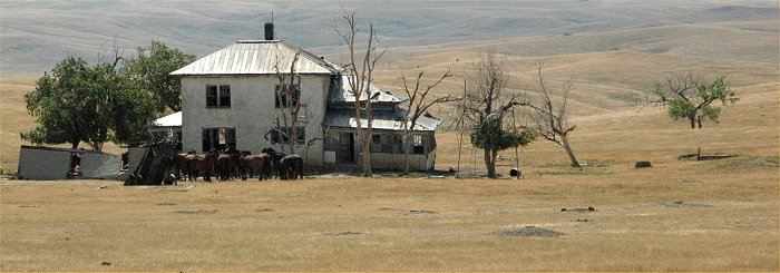
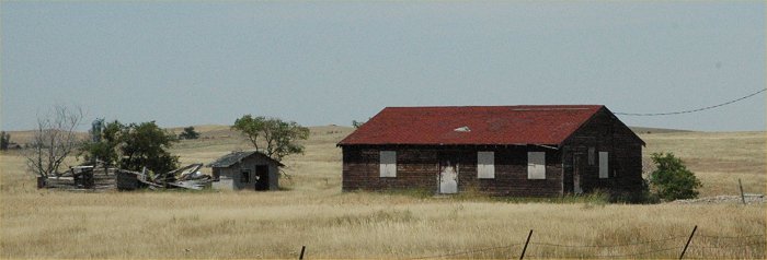
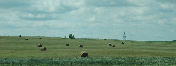
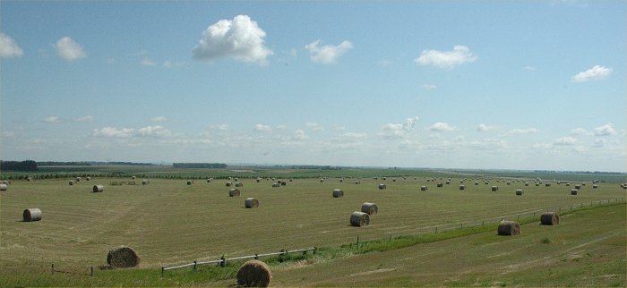
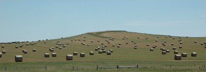
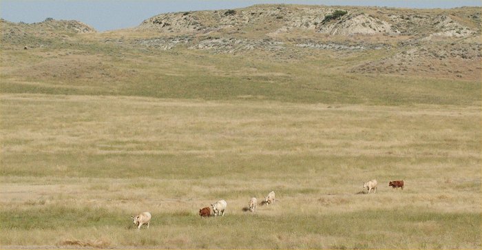
The rural Great Plains
(South Dakota)
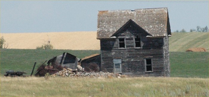
The rural Great Plains
(South Dakota)
The rural Great Plains
(South Dakota)
The rural Great Plains
(South Dakota)
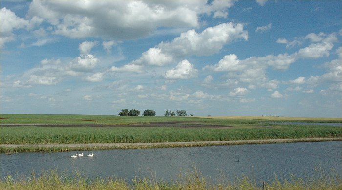
The rural Great Plains (South
Dakota)
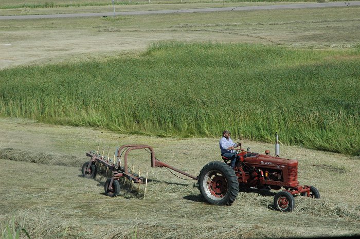
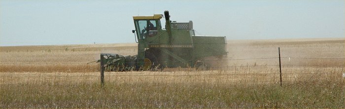
Wheat harvesting in South Dakota
North Dakota
North Dakota
North Dakota
North Dakota
North Dakota
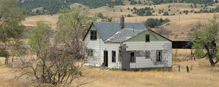
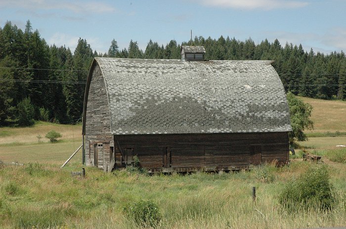
Montana
Montana with extreme drought
conditions this year.
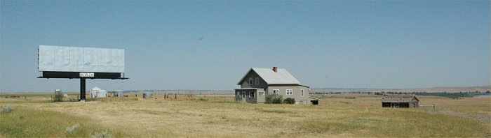
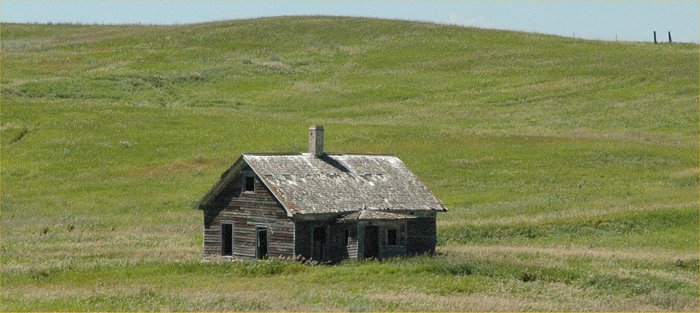
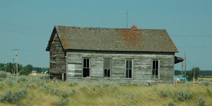
Abandoned house and abandoned
billboard in Montana
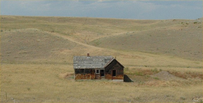
Abandoned house in Montana
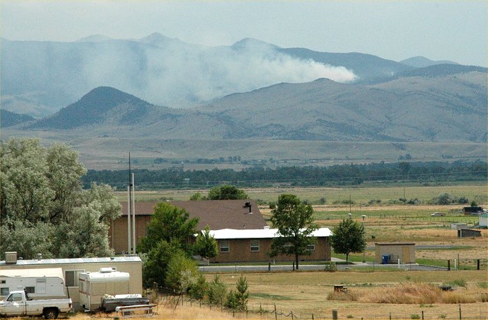
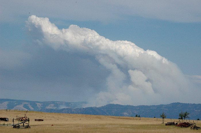
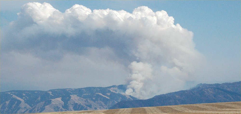
A wildfire near Butte, Montana
Near Butte, Montana
Near Butte, Montana
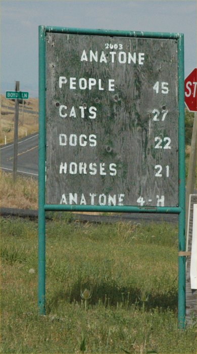
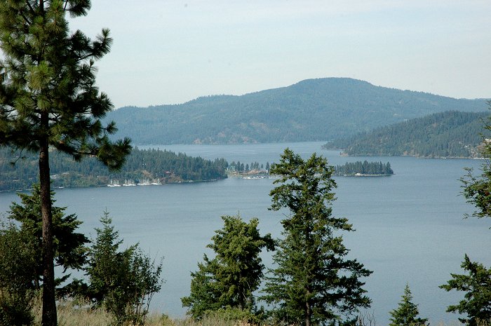
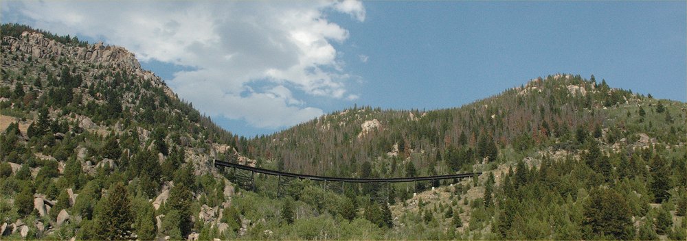
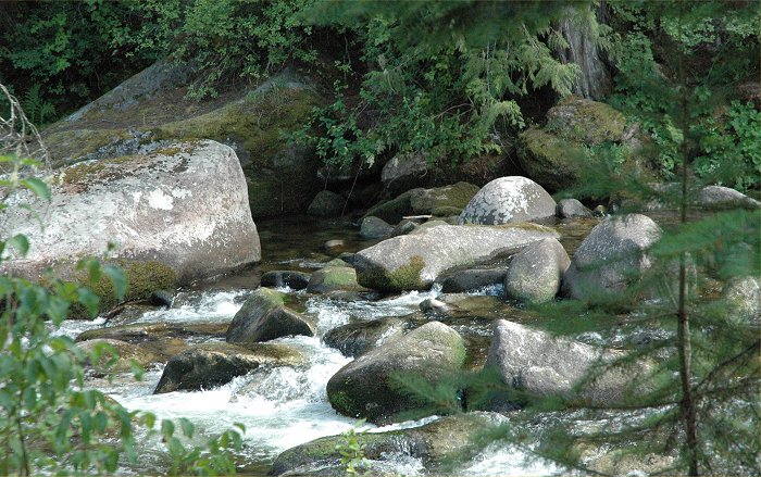
Central Idaho
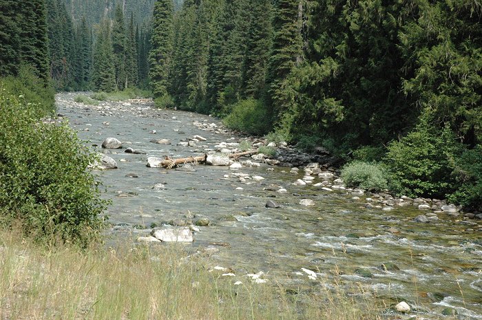
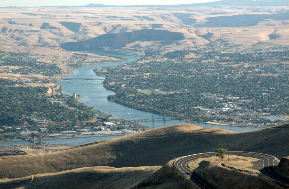
Idaho along Highway 12.
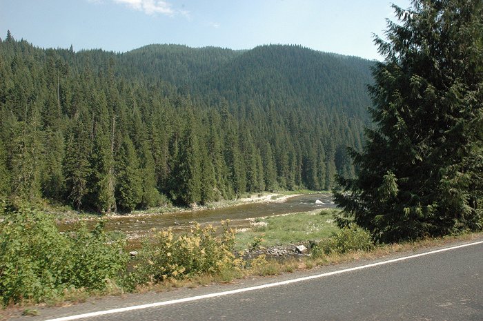
Idaho along Highway 12.
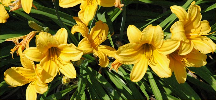
Summer color
Idaho along Highway 12.
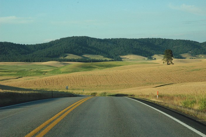
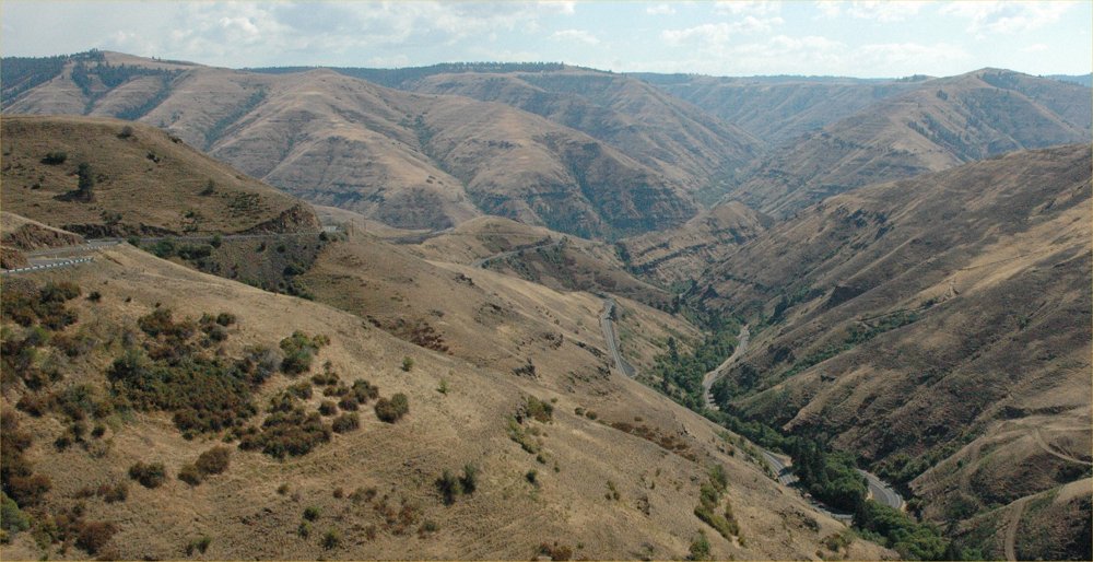
Western Idaho
Eastern Washington